Multiple Platforms for Detailed Aerial Imagery in Ontario
Experience the power of cutting-edge technology with our imaging platforms. We use remotely piloted aircraft systems (RPAS) to capture aerial imagery in Ontario from unique vantage points and deliver unrivaled precision and detail in every project. Contact us for more information about the devices we use.
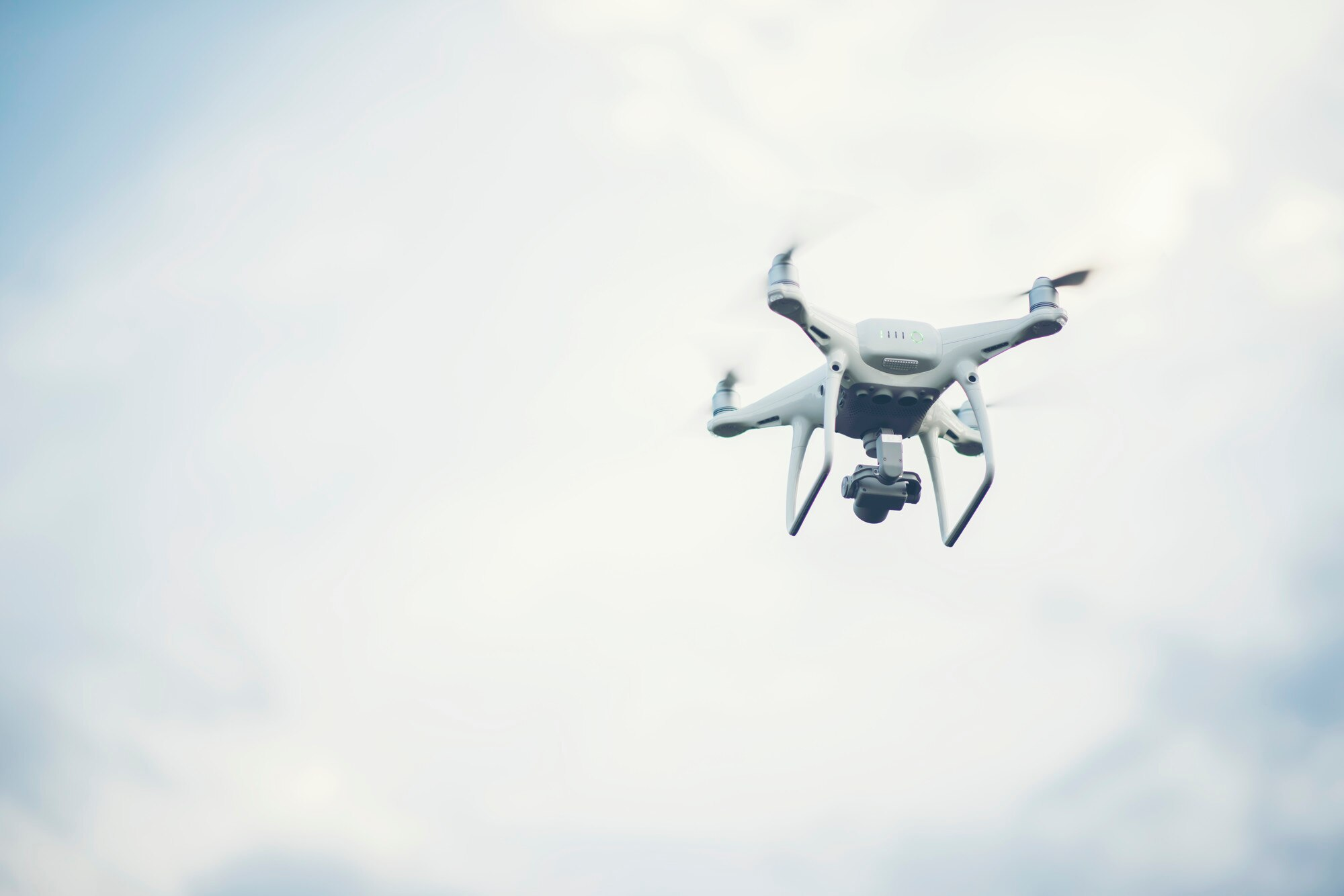
Dragon Flyer Commander
- Quad Copter
- 25 MP
- FLIR (Thermal)
- Extremely Geospatially Accurate
Aeromapper Talon
- Fixed-Wing
- Long-Range
- 2-Hour Flight Time
- 25 MP
- Parrot Sequoia (Multi-Spectral)